- Home
- Point & Shoot Digital Cameras
- Survey3N NDVI Mapping Camera NIR 12MP with 8.25mm f/3.0 Lens, GPS, HDMI, WiFi, Drone Mount
Survey3N NDVI Mapping Camera NIR 12MP with 8.25mm f/3.0 Lens, GPS, HDMI, WiFi, Drone Mount
$400.00
Capture stunning NDVI images with the Survey3N Camera. Features NIR filter, 12MP sensor, and GPS for precise mapping. Perfect for aerial photography.
The Survey3N NDVI Mapping Camera is designed for professionals who require precision in capturing Near Infrared (NIR) images. This camera uses an advanced 8.25mm f/3.0 lens that guarantees ultra-sharp images without distortion, making it ideal for NDVI (Normalized Difference Vegetation Index) mapping. With a robust 12MP Sony sensor, it captures stunningly detailed images and 2K video, providing users with versatile options for their projects.
This camera specializes in detecting NIR light at 850nm, allowing it to effectively distinguish between healthy and unhealthy vegetation. The results can be processed into index images using our MCC application, enhancing the contrast between various types of vegetation. By utilizing this technology, users can generate maps, 2D ortho-mosaics, and even 3D models, making it an essential tool for agronomists, researchers, and aerial photographers.
The Survey3N is equipped with a built-in GPS receiver that automatically geo-tags each image, ensuring that every capture is accurately mapped. Additionally, the camera features HDMI and WiFi connectivity, allowing for easy sharing and editing of images via the MAPIR SCA app on your smartphone or tablet. This integration facilitates a seamless workflow, enabling users to download, edit, and share their aerial captures in mere minutes.
The camera’s PWM trigger capability and timer interval options provide flexibility in image capturing. With a fast interval timer of 1.5 seconds for JPG mode and 2.75 seconds for RAW+JPG mode, capturing the perfect moment has never been easier. Furthermore, the camera’s design includes a durable 1200 mAh battery, ensuring longer usage times during fieldwork.
| Camera Specifications | Details |
| Filter Option | NIR (Near Infrared) |
| Image Resolution | 12 Megapixels |
| Video Resolution | 2160p24, 1440p30, 1080p60, 720p60 |
| Lens Optics | 41° HFOV (47mm) f/3.0 Aperture, No Distortion (Non-Fisheye) Glass Lens |
| Sensor | Sony Exmor R IMX117 12MP |
The Survey3N NIR Camera is not only user-friendly but also versatile. It is compatible with common security CCTV systems utilizing infrared 850nm LED lights, allowing for nighttime media capture. This functionality opens up new avenues for data collection and analysis, particularly in agricultural monitoring and environmental studies.
In conclusion, the Survey3N NDVI Mapping Camera stands out as a premier choice for those in need of high-quality NIR imaging and mapping solutions. Its combination of advanced optics, robust features, and user-friendly interface makes it the perfect tool for transforming agricultural practices and enhancing aerial surveying capabilities.
Included with the camera are essential accessories such as a USB connection, a GPS receiver, a battery, and a user manual, along with the Camera Control App to maximize the camera’s potential.
| brand |
|---|
Related products
Canon PowerShot S300 2MP Digital ELPH Camera Kit with 3x Optical Zoom and Movie Mode
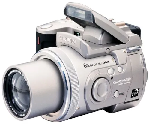
Fujifilm FinePix 4900 4.3MP Digital Camera with 6x Optical Zoom and USB Connectivity
OM SYSTEM OLYMPUS C-2100 2MP Digital Camera with 10x Optical Zoom and Image Stabilization
Polaroid PDC-700 0.8MP Digital Camera Creative Kit with 4MB Memory and AC Adapter
Signup our newsletter to get update information, news, insight or promotions.
Disclosure: stroudphotography.com is a participant in the Amazon Services LLC Associates Program, an affiliate advertising program designed to provide a means for sites to earn advertising fees by advertising and linking to Amazon.com.


Reviews
There are no reviews yet.